

Oskrbovana stanovanja Hmelina
completedcompletion 2024verified 27 Sept 2026
Radlje ob Dravi
Developer: Stanovanjski sklad Republike Slovenije
Key facts
About the development
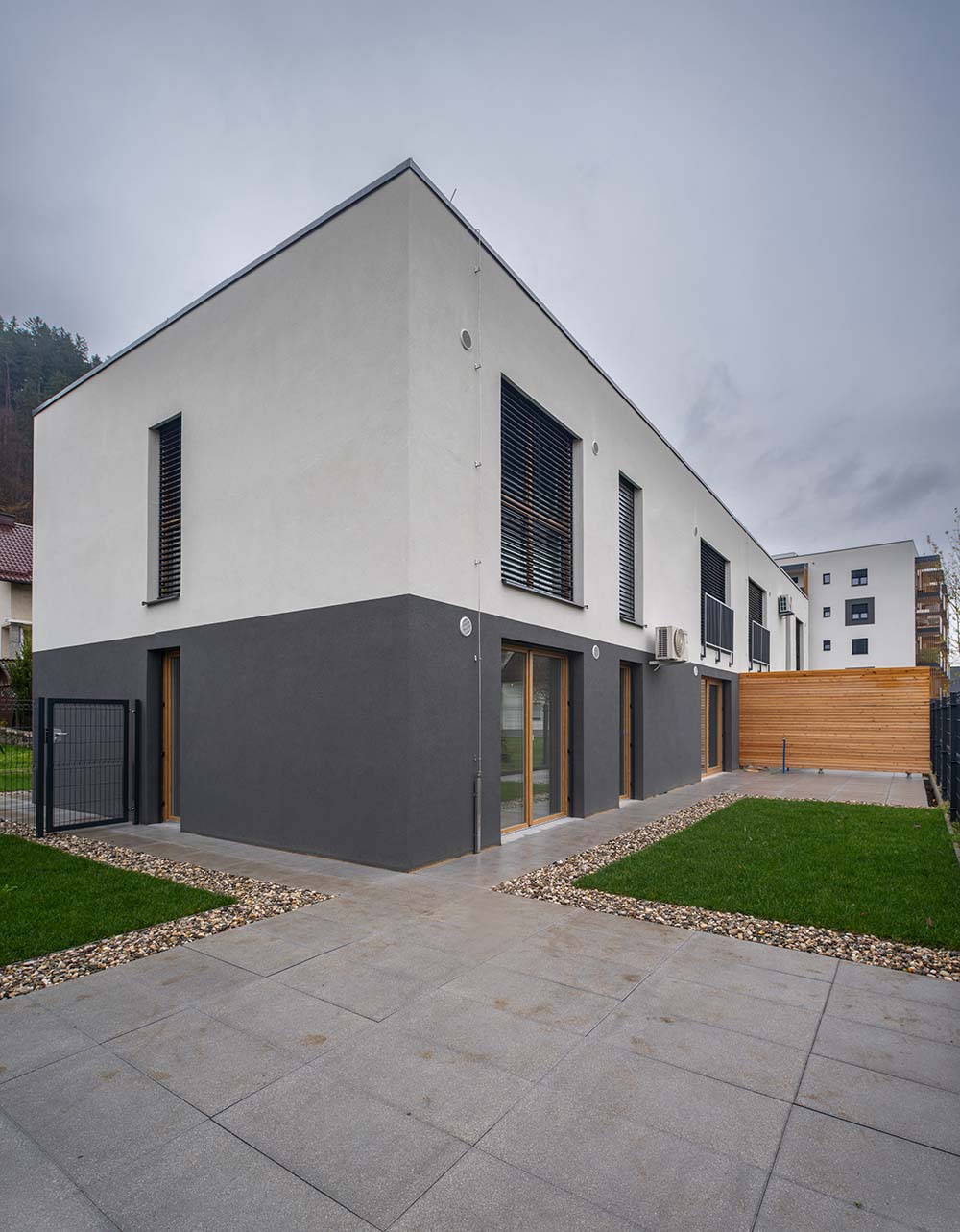
Oskrbovana stanovanja Hmelina so namenjena starejšim. Projekt obsega 28 stanovanj v stavbi etažnosti K+P+3 s skupnim družabnim prostorom. Štiri pritlična stanovanja imajo lasten atrij z zasebnim vrtom. Ogrevanje je urejeno s toplotno črpalko in talnim gretjem. Projekt je sofinanciran iz sredstev EU (NOO – Načrt za okrevanje in odpornost).
How it has moved
- planned
- presale
- under construction
- for sale
- last units
- sold out
- completed
Follow this development
We will write to you when its status, starting price or number of available units changes. Free, and you can switch it off at any time.
A free analysis of this location
Check the plot, the prices achieved nearby, flood and landslide exposure and the seismic zone. No sign-up needed.
Sales on the plots and in the buildings
39 recorded deals · 2 buildings on the plots
| Date | What | Where | Area | Amount | €/m² |
|---|---|---|---|---|---|
| 2026 | building unit | building 804-2153 | 64 m² | €350 | 5 |
| 2025 | building unit | building 804-2153 | 54 m² | €321 | 6 |
| 2025 | building unit | building 804-2153 | 54 m² | €306 | 6 |
| 2025 | building unit | building 804-2153 | 51 m² | sign in | |
| 2026 | building | building 804-2153 | 64 m² | sign in | |
| 2026 | building | building 804-2153 | 45 m² | sign in | |
| 2026 | building | building 804-2153 | 62 m² | sign in |
36 more recorded deals are locked. Signing in unlocks them.
From the property transaction register (ETN, GURS). These are the plots the development stands on and the buildings that stand on them: a flat is recorded against its building, never against the plot underneath it.
Deals around the site
Median price by year
| Year | Median | Sales |
|---|---|---|
| 2,025 | 2,458 €/m² | 2 |
| 2,024 | 2,471 €/m² | 3 |
| 2,022 | 763 €/m² | 2 |
| 2,021 | 750 €/m² | 1 |
| Date | Type | Area | Amount | €/m² | New build | Distance |
|---|---|---|---|---|---|---|
| 23 Apr 2026 | House | 82 m² | €136,290 | 290 m | ||
| 23 Apr 2026 | House | 82 m² | €136,290 | 290 m | ||
| 30 Mar 2026 | Apartment | 47 m² | €80,000 | 90 m | ||
| 12 Dec 2025 | Apartment | 53 m² | sign in | 250 m | ||
| 11 Mar 2025 | Apartment | 76 m² | sign in | yes | 40 m | |
| 25 Feb 2025 | Apartment | 76 m² | sign in | yes | 50 m | |
| 19 Sept 2024 | Apartment | 52 m² | sign in | yes | 20 m | |
| 7 Mar 2024 | Apartment | 67 m² | sign in | yes | 40 m | |
| 23 Feb 2024 | Apartment | 33 m² | sign in | yes | 20 m | |
| 30 Jan 2024 | Apartment | 59 m² | sign in | 90 m |
39 more recorded deals are locked. Signing in unlocks them.
Flats and houses sold on the open market in the last 6 years, within 300 m of the development. From the property transaction register (ETN, GURS).
Cadastre
Plot
- 168/5 on the mapcadastral community 804 RADLJE OB DRAVI · 1,777 m²
Building
- 804-2153on parcel 168/5 · Year built: 2024 · Floors: 6 · Dwellings: 31
- 804-2154on parcel 168/5 · Year built: 2024 · Floors: 1 · Dwellings: 0
Satellite image
Spatial plan
- Občinski prostorski načrt Občine Radlje ob Dravi Official record on the mapAdopted · In force · adopted 8 Aug 2016 · in force from 6 Sept 2016 · area 9,400.4 ha
- Tehnična posodobitev Občinskega prostorskega načrta občine Radlje ob Dravi Official record on the mapAdopted · In force · adopted 18 Dec 2023 · in force from 6 Jan 2024 · area 9,402.8 ha
- Spremembe in dopolnitve občinskega prostorskega načrta Občine Radlje ob Dravi, spremembe in dopolnitve št. 1 Official record on the mapAdopted · In force · adopted 10 Oct 2022 · in force from 20 Dec 2022 · area 9,400.4 ha
Land use
- CU Centralne površinePlanning unit (EUP): RA 21 · Detailed plan (OPPN) required: no · Source: Tehnična posodobitev Občinskega prostorskega načrta občine Radlje ob Dravi, in force from 6 Jan 2024
From the register of spatial acts (MNVP). The official text and drawings are on the act's own page in the spatial information system.
Building permits and construction starts
| Date | Act | Procedure | Administrative unit | Distance | |
|---|---|---|---|---|---|
| 27 Oct 2026 | Occupancy permit | Uporabno dovoljenje brez tehničnega pregleda | Upravna enota Radlje ob Dravi | 50 m | on the map |
| 12 Aug 2026 | Occupancy permit | Uporabno dovoljenje brez tehničnega pregleda | Upravna enota Radlje ob Dravi | 140 m | on the map |
| 30 Jun 2026 | Building permit | Gradbeno dovoljenje | Upravna enota Radlje ob Dravi | 140 m | on the map |
| 10 Nov 2025 | Building permit | Gradbeno dovoljenje | Upravna enota Radlje ob Dravi | 50 m | on the map |
| 15 Oct 2025 | Occupancy permit | Uporabno dovoljenje za obstoječe objekte | Upravna enota Radlje ob Dravi | 90 m | on the map |
| 3 Oct 2025 | Occupancy permit | Uporabno dovoljenje brez tehničnega pregleda | Upravna enota Radlje ob Dravi | 40 m | on the map |
| 24 Sept 2025 | Occupancy permit | Uporabno dovoljenje brez tehničnega pregleda | Upravna enota Radlje ob Dravi | 140 m | on the map |
| 5 Nov 2024 | Occupancy permit | Uporabno dovoljenje brez tehničnega pregleda | Upravna enota Radlje ob Dravi | 50 m | on the map |
| 5 Sept 2024 | Occupancy permit | Uporabno dovoljenje brez tehničnega pregleda | Upravna enota Radlje ob Dravi | 50 m | on the map |
| 29 Aug 2024 | Occupancy permit | Uporabno dovoljenje brez tehničnega pregleda | Upravna enota Radlje ob Dravi | 90 m | on the map |
| 16 Aug 2024 | Occupancy permit | Uporabno dovoljenje brez tehničnega pregleda | Upravna enota Radlje ob Dravi | 120 m | on the map |
| 3 Jul 2024 | Building permit | Gradbeno dovoljenje za nezahteven objekt | Upravna enota Radlje ob Dravi | 90 m | on the map |
From the register of administrative acts (MNVP). Acts filed on the development's own buildings and within 150 m of it. The register publishes no unit count on an act.
The neighbourhood
Nearby
Warnings and constraints
- major road ≈257 m away
- kindergarten or school ≈476 m away
- good public transport
- landslide-prone area
- school district Osnovna šola Radlje ob Dravi
Public registers
- PISO: spatial plans for Radlje ob Dravigeoprostor.net
- GURS: public cadastre vieweripi.eprostor.gov.si
- ARSO: environment atlasgis.arso.gov.si
- DRSV: water atlasgeohub.gov.si
The municipality in numbers
Population, wages, sales and prices for Radlje ob Dravi.
Links
Website
Sources
Similar developments nearby
Something missing or wrong?
We keep this entry by hand. Report a figure that does not hold or, if you are the developer, fill in what is missing.