

Key facts
About the development
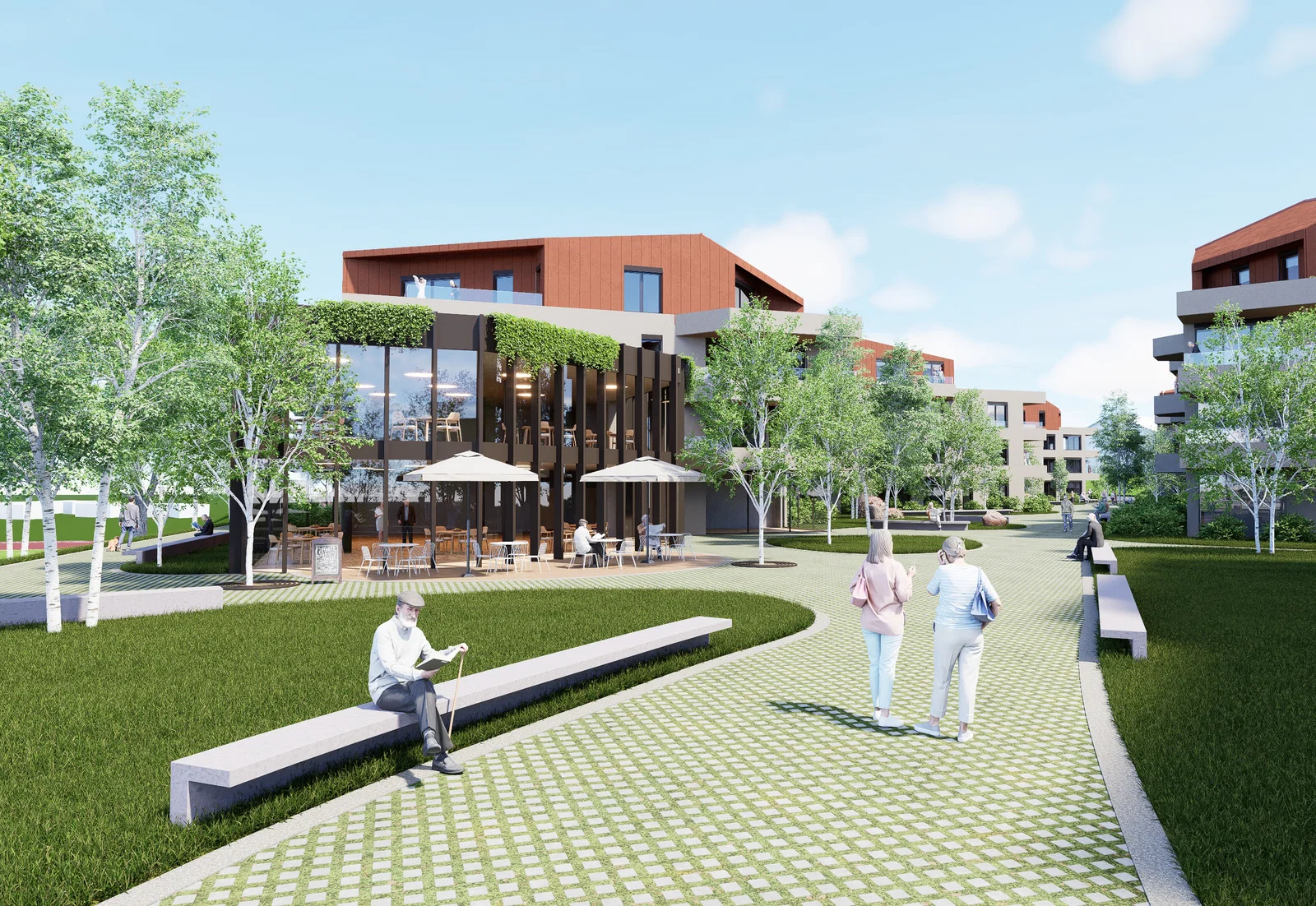
V Mekinjah pri Kamniku je načrtovana soseska 226 oskrbovanih najemnih stanovanj za starejše z večnamenskimi prostori.
How it has moved
- planned
- presale
- under construction
- for sale
- last units
- sold out
- completed
Follow this development
We will write to you when its status, starting price or number of available units changes. Free, and you can switch it off at any time.
A free analysis of this location
Check the plot, the prices achieved nearby, flood and landslide exposure and the seismic zone. No sign-up needed.
Sales on the plots and in the buildings
No sale has been recorded on these plots, or in the buildings on them, yet, which is what a development not yet entered in the register looks like.
Deals around the site
Median price by year
| Year | Median | Sales |
|---|---|---|
| 2,026 | 2,147 €/m² | 1 |
| 2,025 | 2,606 €/m² | 3 |
| 2,024 | 962 €/m² | 3 |
| 2,023 | 1,590 €/m² | 4 |
| Date | Type | Area | Amount | €/m² | New build | Distance |
|---|---|---|---|---|---|---|
| 18 Aug 2026 | Apartment | 37 m² | €245,000 | 200 m | ||
| 19 Jun 2026 | Apartment | 50 m² | €2,200 | 190 m | ||
| 16 Jun 2026 | Apartment | 44 m² | €241,000 | 150 m | ||
| 9 Jun 2026 | Apartment | 44 m² | sign in | 210 m | ||
| 21 Apr 2026 | Apartment | 50 m² | sign in | 190 m | ||
| 5 Jan 2026 | Apartment | 55 m² | sign in | 170 m | ||
| 29 Dec 2025 | Apartment | 50 m² | sign in | 190 m | ||
| 1 Dec 2025 | Apartment | 50 m² | sign in | 190 m | ||
| 28 Nov 2025 | Apartment | 54 m² | sign in | 180 m | ||
| 28 Nov 2025 | Apartment | 50 m² | sign in | 190 m |
52 more recorded deals are locked. Signing in unlocks them.
Flats and houses sold on the open market in the last 6 years, within 300 m of the development. From the property transaction register (ETN, GURS).
Cadastre
Plot
- 106/4 on the mapcadastral community 1898 MEKINJE · 14,072 m²
Satellite image
Spatial plan
- Občinski prostorski načrt Občine Kamnik Official record on the mapAdopted · In force · adopted 21 Oct 2015 · in force from 27 Nov 2015 · area 26,535.8 ha
- Občinski podrobni prostorski načrt za območje KA-15/1 Official record on the mapIn preparation · area 1.9 ha
- Četrte spremembe in dopolnitve občinskega prostorskega načrta Občine Kamnik (OPN SD 4 - SP) Official record on the mapAdopted · In force · adopted 19 Nov 2025 · in force from 13 Dec 2025 · area 26,535.8 ha
- Spremembe in dopolnitve občinskega prostorskega načrta Občine Kamnik št. 2 Official record on the mapAdopted · In force · adopted 16 Oct 2024 · in force from 16 Nov 2024 · area 26,535.8 ha
In preparation: changes to this area are going through the procedure.
Land use
- CU Centralne površinePlanning unit (EUP): KA-15 · Detailed plan (OPPN) required: yes · Source: Četrte spremembe in dopolnitve občinskega prostorskega načrta Občine Kamnik (OPN SD 4 - SP), in force from 13 Dec 2025
From the register of spatial acts (MNVP). The official text and drawings are on the act's own page in the spatial information system.
Building permits and construction starts
| Date | Act | Procedure | Administrative unit | Distance | |
|---|---|---|---|---|---|
| 13 Sept 2023 | Occupancy permit | Uporabno dovoljenje brez tehničnega pregleda | UE Kamnik | 100 m | on the map |
| 4 Sept 2021 | Building permit | Gradbeno dovoljenje | UE KAMNIK | 90 m | on the map |
| 3 Aug 2021 | Building permit | Gradbeno dovoljenje za nezahteven objekt | UE KAMNIK | 90 m | on the map |
| 26 May 2021 | Notice of start of construction removal · work started | Prijava pričetka del - odstranitev objekta | UE KAMNIK | 90 m | on the map |
| 6 Oct 2020 | Occupancy permit | Domneva izdanega gradbenega in uporabnega dovoljenja po ZGO-1 | UE KAMNIK | 100 m | on the map |
| 29 Nov 2018 | Act issued in inspection proceedings | Inšpekcijski postopek gradbena inšpekcija | INŠPEKTORAT RS ZA OKOLJE IN PROSTOR | 150 m | on the map |
| 29 Nov 2018 | Act issued in inspection proceedings | Inšpekcijski postopek gradbena inšpekcija | INŠPEKTORAT RS ZA OKOLJE IN PROSTOR | 150 m | on the map |
| 28 May 2018 | Act issued in inspection proceedings | Inšpekcijski postopek gradbena inšpekcija | INŠPEKTORAT RS ZA OKOLJE IN PROSTOR | 150 m | on the map |
From the register of administrative acts (MNVP). Acts filed on the development's own buildings and within 150 m of it. The register publishes no unit count on an act.
The neighbourhood
Nearby
Warnings and constraints
- kindergarten or school ≈361 m away
- good public transport
- greenery or water ≈248 m away
- industrial site or landfill ≈412 m away
- landslide-prone area
- elevated seismic hazard (0.225 g)
- school district Podružnična šola Mekinje
Public registers
- PISO: spatial plans for Kamnikgeoprostor.net
- GURS: public cadastre vieweripi.eprostor.gov.si
- ARSO: environment atlasgis.arso.gov.si
- DRSV: water atlasgeohub.gov.si
The municipality in numbers
Population, wages, sales and prices for Kamnik.
Links
Website
Sources
Similar developments nearby
Something missing or wrong?
We keep this entry by hand. Report a figure that does not hold or, if you are the developer, fill in what is missing.